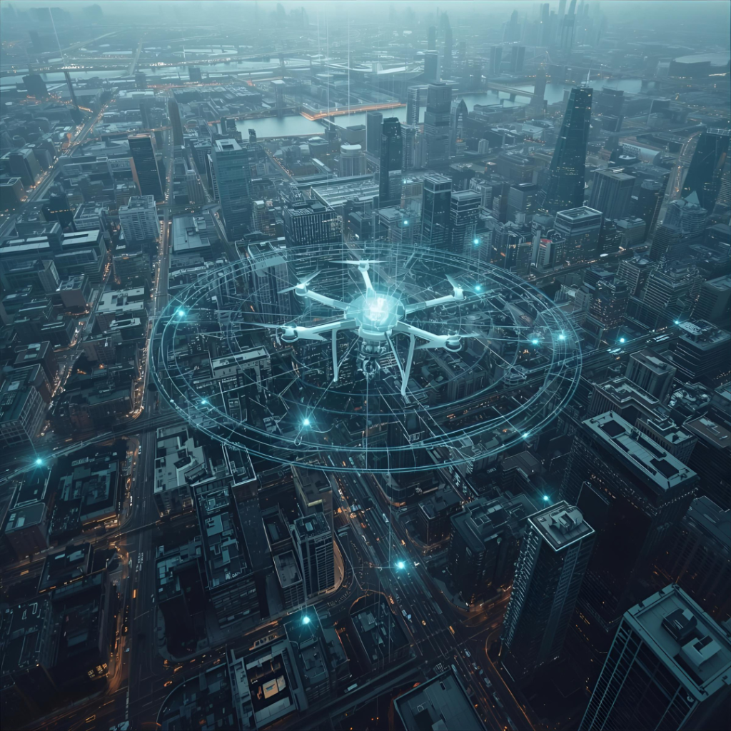


In an age where data drives decisions, having precise and up-to-date information is crucial for any business, especially those in the fields of construction, mining, agriculture, or urban planning. Gone are the days of slow and labor-intensive manual surveys. Today, a single tool is revolutionizing the way we see and understand our world: the drone.
Drones are no longer just for hobbyists. When equipped with high-resolution cameras and advanced sensors, they become powerful instruments for geospatial mapping. This technology allows us to collect data faster and more accurately than ever before, providing businesses with a clearer picture of their assets and environments.
Why Drones are a Game-Changer for Your Business
Think about your operational needs. Whether it’s monitoring a vast land plot, assessing the progress of a construction site, or conducting a detailed environmental survey, a drone can get the job done with incredible efficiency.
- Unmatched Speed: A drone can map a large area in a fraction of the time it would take a traditional survey team. This saves you valuable time and resources, allowing you to move to the next stage of your project faster.
- Superior Accuracy: Equipped with cutting-edge technology, drones can capture highly detailed aerial imagery and elevation data. This leads to the creation of precise 2D maps and 3D models, giving you the accuracy you need for critical decision-making.
- Improved Safety: By using a drone, you can conduct surveys in hard-to-reach or dangerous areas without putting your team at risk. It’s a safer way to collect all the data you need.
From Raw Data to Actionable Insights
At PT Buhana Berkah Bersama, we understand that raw data is only the first step. That’s why we offer end-to-end geospatial solutions. Our services cover everything from data acquisition using our state-of-the-art drones to advanced data processing. We transform complex aerial information into clear, actionable insights that you can use to optimize your operations, plan projects, and make smarter, data-driven decisions.
Ready to see your world from a new perspective? Embrace the power of drones and revolutionize your operational workflow.